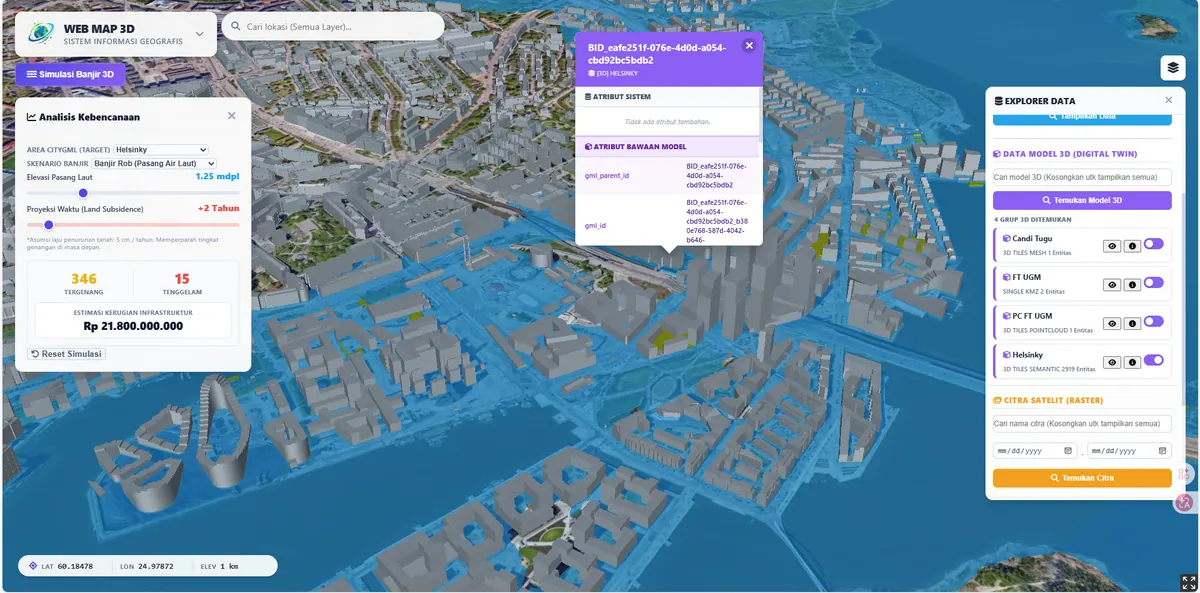
Digital Twin City 3D
A Digital Twin prototype combining CityGML/CityJSON with 3D Tiles (photogrammetry, point clouds) and individual 3D models in one web platform.
Lihat Studi Kasus →View Case Study → PT GEO ANFA SPASIAL
Berbagai sistem informasi geografis, geoportal, dan Digital Twin yang telah kami kembangkan untuk desa, instansi, dan perusahaan. Various geographic information systems, geoportals, and Digital Twins we have built for villages, agencies, and companies.
This page collects 13 GIS and WebGIS case studies built by PT Geo Anfa Spasial (GeoGap) — from lightweight interactive maps for village governments to OGC-standard geoportals and 3D Digital Twin City platforms. Each case study documents the context, the system we built, its key features, and its impact.
Our portfolio spans 2D WebGIS (Leaflet.js, PostGIS, Laravel), OGC geoportals (GeoServer with WMS, WFS, and WMTS), 3D WebGIS (CesiumJS, 3D Tiles, CityGML/CityJSON), and 3D Gaussian Splatting — a method we published in the GEOID journal (ITS). Sectors covered include village and sub-district government, land administration, plantations, road infrastructure, and heritage documentation.
Looking for something similar for your organisation? Open any case study below, or see our WebGIS development services.
A Digital Twin prototype combining CityGML/CityJSON with 3D Tiles (photogrammetry, point clouds) and individual 3D models in one web platform.
Lihat Studi Kasus →View Case Study →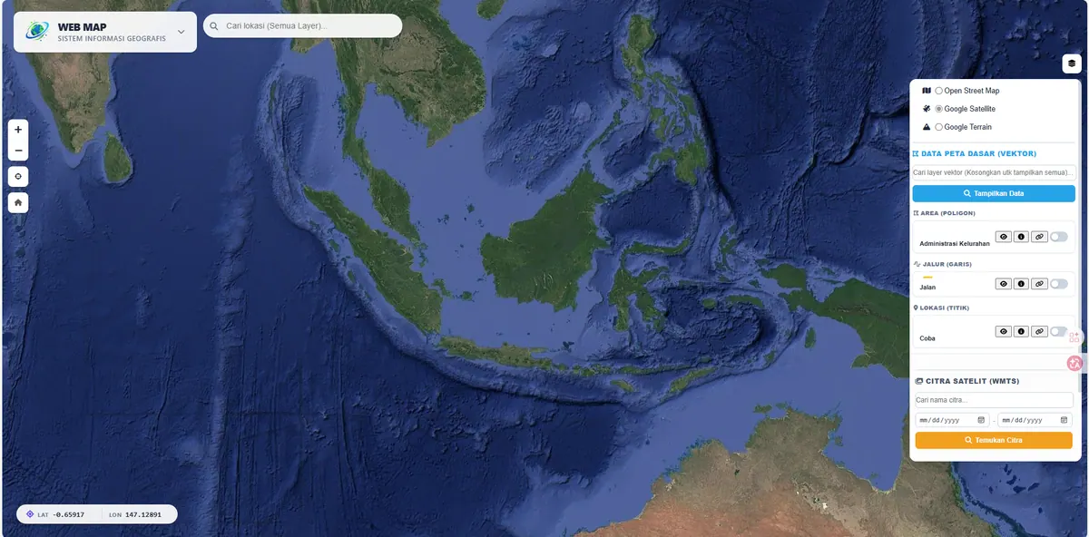
A geoportal-scale, OGC-standard WebGIS (WMS/WFS) for massive spatial data and time-series raster management.
Lihat Studi Kasus →View Case Study →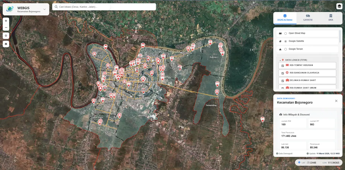
An enterprise-level GIS with a Bojonegoro sub-district case study, integrating district government programs (GAYATRI & BKK).
Lihat Studi Kasus →View Case Study →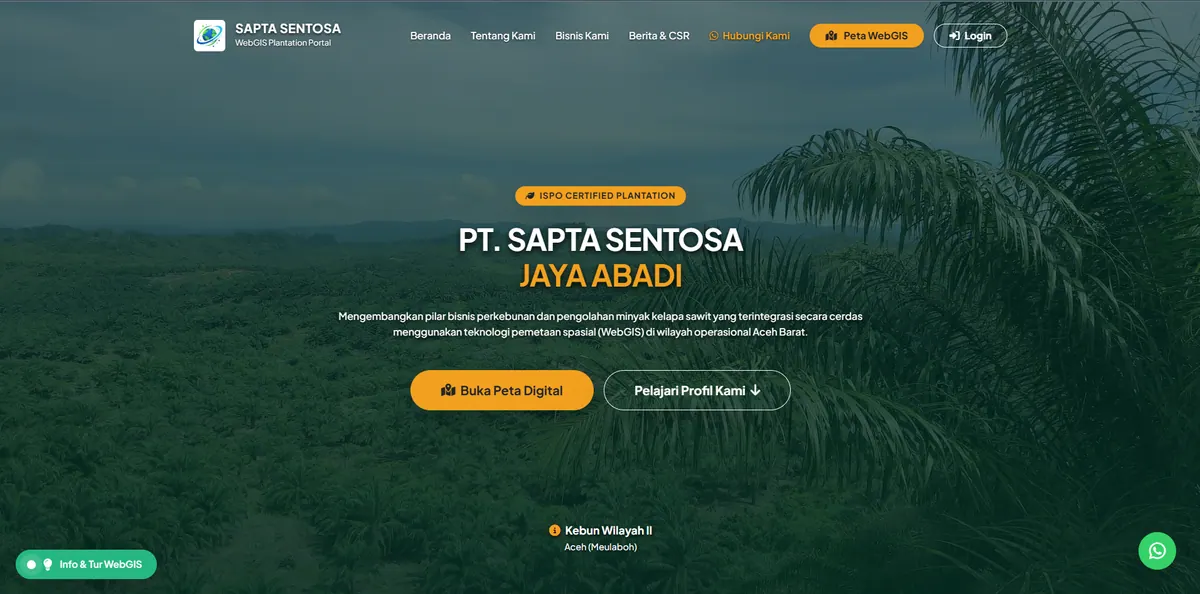
A comprehensive geospatial portal for plantation management: auto GeoJSON import, tiered roles, and per-block field documentation.
Lihat Studi Kasus →View Case Study →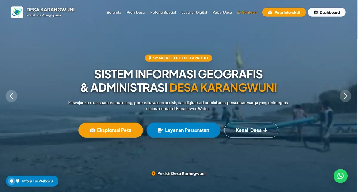
A Smart Village platform combining spatial data management (parcels, infrastructure) with digital administration for automated resident letters.
Lihat Studi Kasus →View Case Study →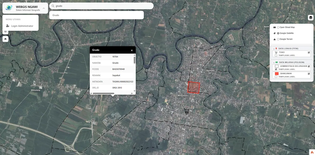
A highly lightweight interactive geographic information system without GeoServer dependency.
Lihat Studi Kasus →View Case Study →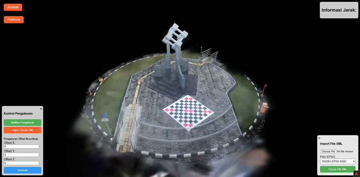
Cutting-edge 3D Gaussian Splatting rendering to display detailed geospatial objects on the web.
Lihat Studi Kasus →View Case Study →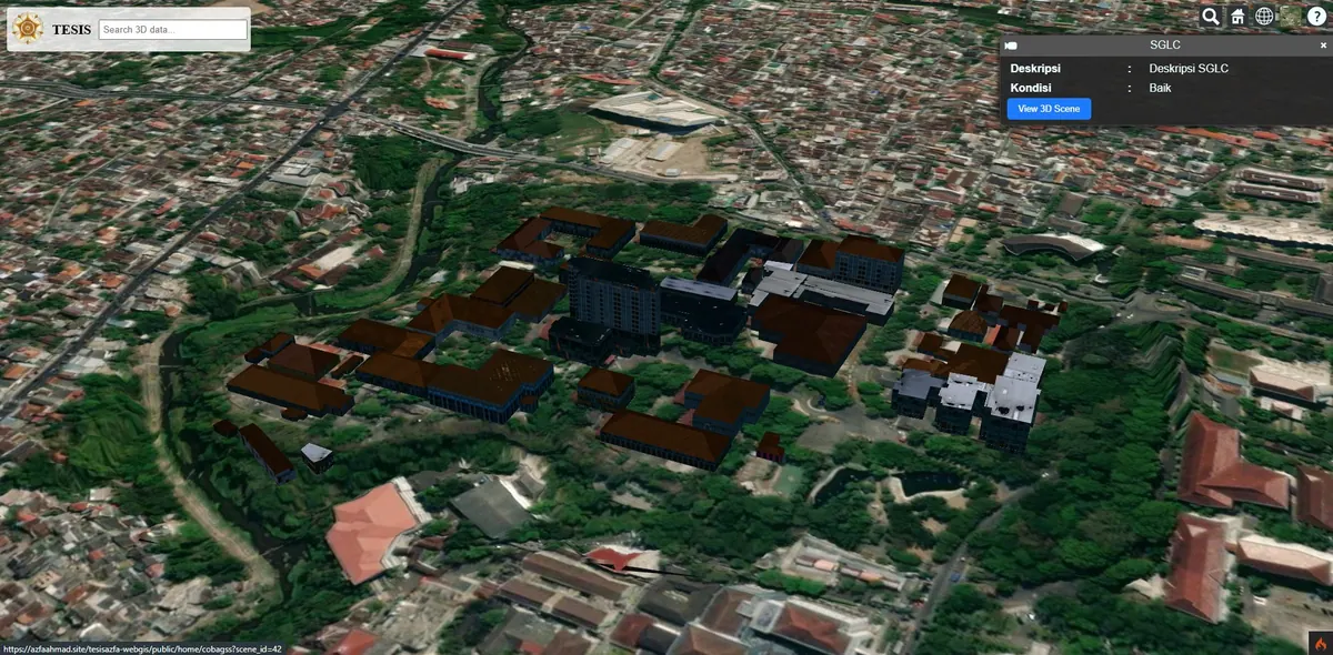
3D topography and building visualization using self-hosted WebGL, independent of third-party providers.
Lihat Studi Kasus →View Case Study →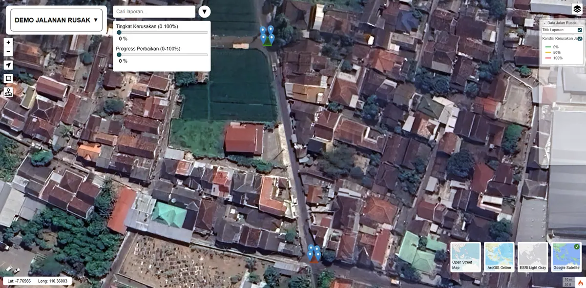
A digital map-based road damage reporting and monitoring platform.
Lihat Studi Kasus →View Case Study →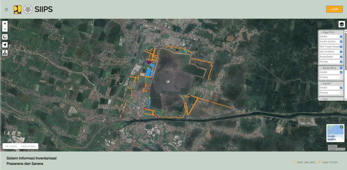
A map-based asset inventory system for areas affected by the Sidoarjo Mudflow.
Lihat Studi Kasus →View Case Study →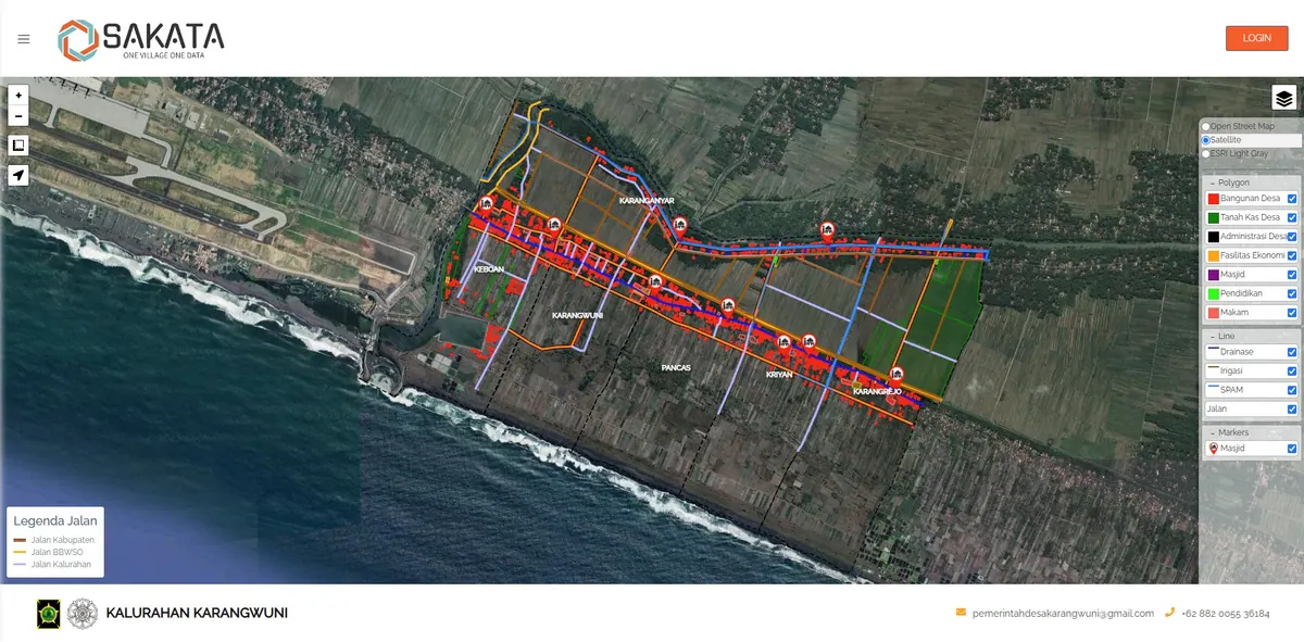
Digitalization of Karangwuni Village asset data for governance transparency.
Lihat Studi Kasus →View Case Study →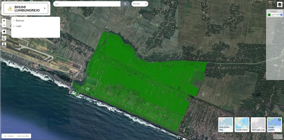
A digital cadastral map for land parcel monitoring and ownership status.
Lihat Studi Kasus →View Case Study →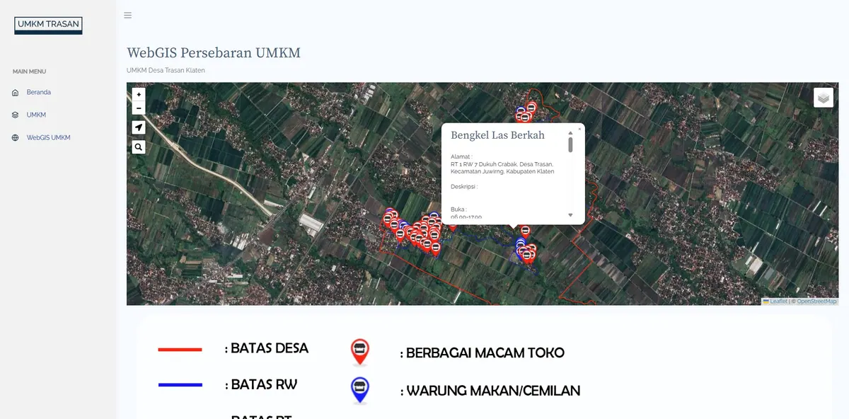
An interactive map of public facilities and potential distribution in Trasan Village.
Lihat Studi Kasus →View Case Study →