Lightweight Ngawi WebGIS (Non-GeoServer)
A highly lightweight interactive geographic information system without GeoServer dependency.
Context
Not every WebGIS need requires heavy infrastructure. Some agencies simply need a lightweight, fast, and inexpensive interactive map.
What We Built
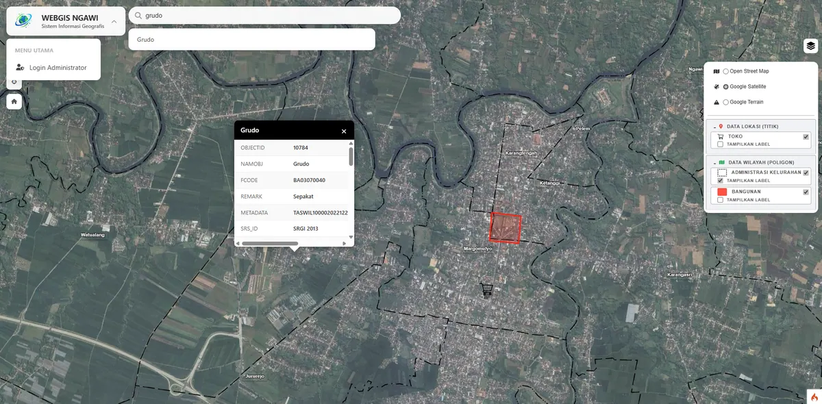
We built an ultra-lightweight non-GeoServer WebGIS that loads data directly from GeoJSON on the client side for fast access and low server cost.
Leaving GeoServer out here is not a compromise but the right call for the scope. GeoServer pays off when data must be consumed externally through OGC-standard services, but that benefit is bought with a mandatory VPS and the upkeep of a Java application. If the data is only used by your own system, all of that cost buys a capability nobody uses.
GeoJSON is loaded directly by the browser, so the server only serves static files. As a consequence the system runs on ordinary shared hosting at a far lower annual cost, with no background process to monitor.
Key Features
- Lightweight interactive map with Leaflet.js.
- No GeoServer; low server resource usage.
- Fast access, suitable for limited connections.
Results & Impact
Users get an interactive map without heavy infrastructure cost. An ideal approach for simple yet professional needs.
Because data loads client-side, the map stays responsive even on an unstable connection — once loaded, panning and zooming no longer require server requests. That matters in areas where network quality varies.
The limitation, stated honestly: this approach becomes heavy when the feature count is very large, since all data is shipped to the browser at once. At that point an OGC service layer like the one in GeoServer Geoportal becomes the right choice. We compare both architectures on our WebGIS development service page.