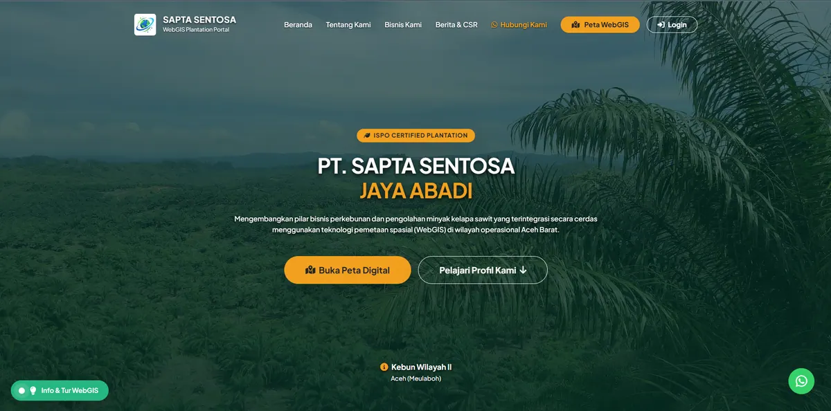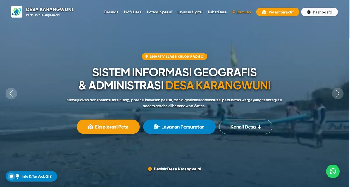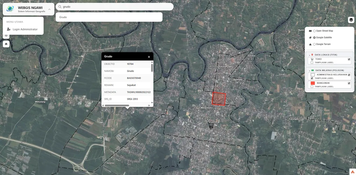
Enterprise Sub-district WebGIS Bojonegoro
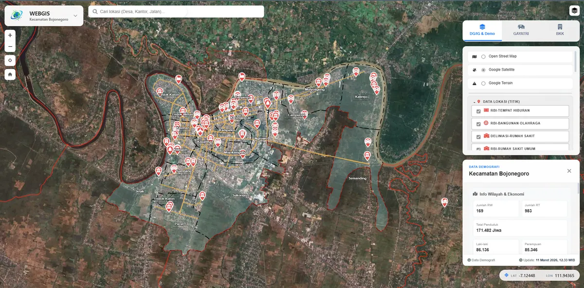
An enterprise-level GIS with a Bojonegoro sub-district case study, integrating district government programs (GAYATRI & BKK).
Context
Sub-district governments need a single integrated system to manage spatial data and development programs. This case study covers the Bojonegoro sub-district with cross-program integration needs.
The characteristic problem at sub-district level is not a shortage of data but data fragmented by programme. Each programme has its own owner, format, and reporting cycle, so a question as simple as which areas receive support from several programmes at once requires manual cross-referencing between files — work that must be repeated every time the figures are requested.
What We Built
We built an enterprise-level WebGIS that combines regional spatial data with the district government's GAYATRI and BKK programs. The system is modular so it can grow with each budget phase.
Modular design here is not merely a technical label; it answers the reality of government budgeting, which arrives in annual stages. The system was built so new modules can be added without dismantling what already runs — four further modules already have their place reserved for the next budget phase. As a consequence, the first-stage investment is not wasted when scope expands.
Access is separated by programme so each operator edits only what they are responsible for, while leadership still sees the whole picture on one map.
Key Features
- Spatial data integration with government programs (GAYATRI & BKK).
- Modular architecture; 4 further modules prepared for the next phase.
- Centralized data management for sub-district needs.
Results & Impact
The system unifies data management that was previously fragmented. We are ready to build a similar custom system for other regions.
What changed is where the data lives. Previously scattered across files owned by individual programmes, it now sits in one database against a shared spatial reference. Cross-programme questions can be answered straight from the map without manual joins, and the figures produced are consistent because they come from one place.
If your region shares this pattern of needs, we describe the approach and technology on our WebGIS development service page.