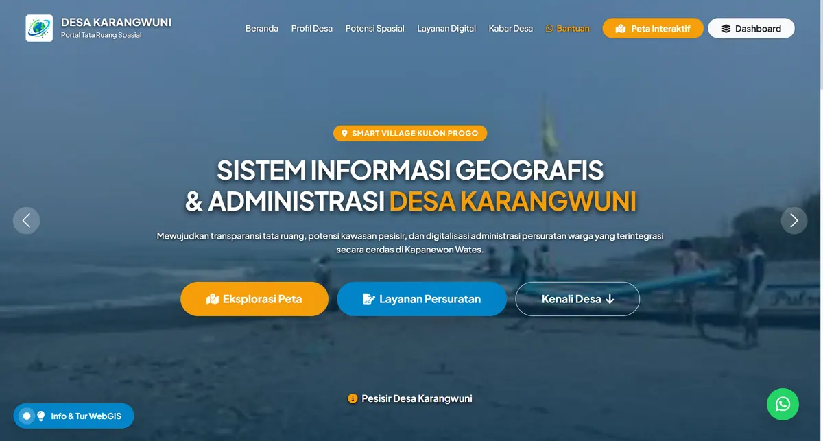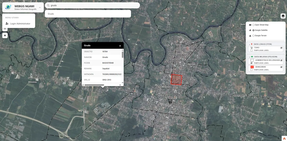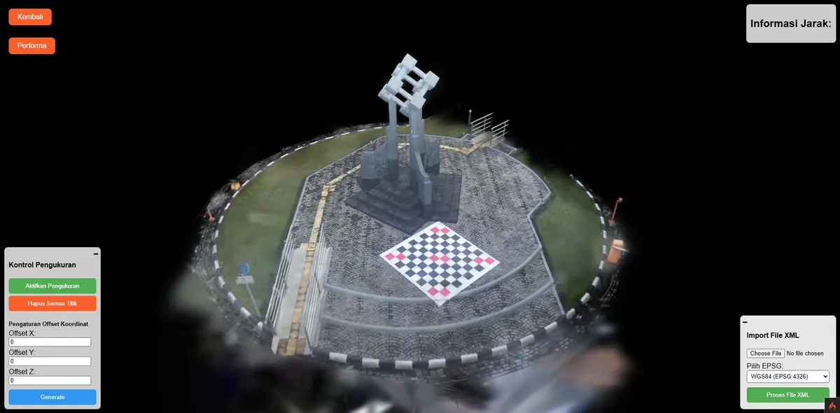
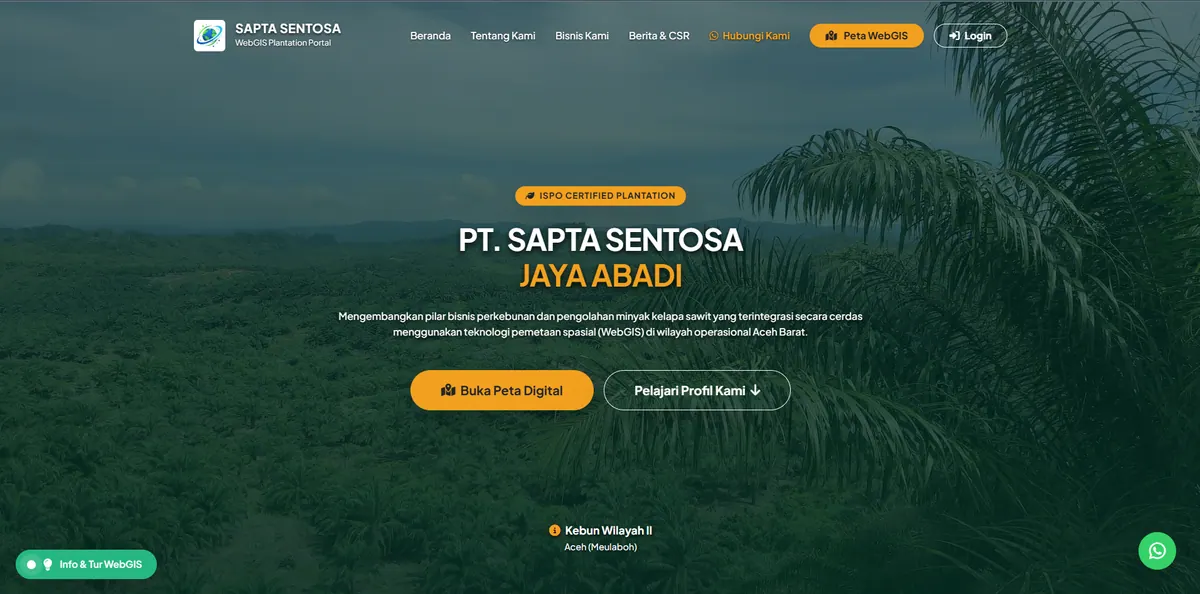
Smart Plantation WebGIS
A comprehensive geospatial portal for plantation management: auto GeoJSON import, tiered roles, and per-block field documentation.
Context
Large-scale plantation management demands accurate block data and a clean workflow between managers, surveyors, and admins.
On a large plantation, distance creates its own problem. Block conditions are known by surveyors in the field, while decisions are made in the office from reports that have already passed through several hands. The time lag and repeated copying mean the office figures often no longer reflect the current state, and field documentation is stored apart from the block data it refers to.
What We Built
We built a geospatial portal with automatic GeoJSON import, tiered access roles (Manager, Surveyor, Admin), dynamic attribute mapping, and per-block field documentation (photos/PDF).
Automatic GeoJSON import removes the stage that usually consumes the most time: re-entering block boundaries by hand. Dynamic attribute mapping completes it — columns in an uploaded file can be matched to system fields without altering the database structure, so data from sources with different column names is still accepted.
Tiered access separates roles as operations actually work: surveyors enter field data, admins manage references and users, managers read summaries with no risk of altering data. Photo and PDF documentation attaches directly to the block it refers to rather than sitting in a separate folder.
Key Features
- Automatic GeoJSON data import to the map.
- User hierarchy: Manager, Surveyor, Admin.
- Dynamic attribute mapping & per-block field documentation.
Results & Impact
Plantation block management became centralized and traceable. Suitable for plantation and forestry companies.
The largest benefit is traceability: each block carries its own history and documentation, openable from the map, so a question about the condition of a block is answered by opening the feature rather than hunting through old report attachments.
The same pattern applies in forestry, mining, and utilities — anywhere assets are geographically dispersed and their condition changes over time. See our WebGIS development service for a discussion of modules and access control.