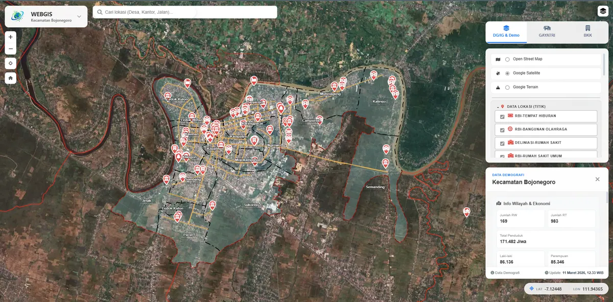
GeoServer Geoportal WebGIS (OGC)
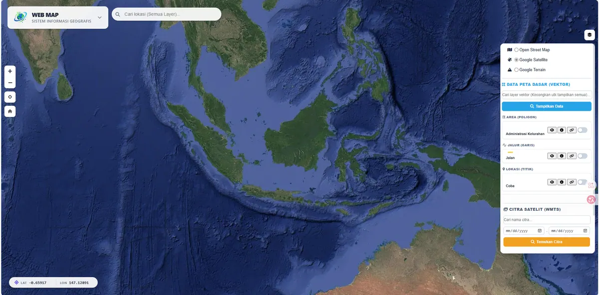
A geoportal-scale, OGC-standard WebGIS (WMS/WFS) for massive spatial data and time-series raster management.
Context
When spatial data volumes grow and must be shared across systems, an open-standard geoportal is essential. This project showcases a geoportal-scale WebGIS powered by GeoServer as the service engine.
The trigger is usually the same across institutions: the same dataset is requested repeatedly by different parties, then sent as a shapefile over email or cloud storage. That practice accumulates problems — nobody is certain who holds the newest version, a revision on one side never reaches the other, and every new request consumes staff time. The issue is not storage capacity but the absence of a single reference source.
What We Built
We publish vector and raster layers through OGC-standard services — WMS, WFS, and WMTS — so the data can be consumed by QGIS, ArcGIS, or web applications. Time-series raster management simplifies multi-temporal analysis.
The choice of service type determines the user's experience. WMS serves layers that are expensive to render and only need to be looked at — the server renders and ships an image. WFS serves layers that others must genuinely use: what travels is the original geometry with its attributes, so recipients can select features, measure, filter with queries, and run analysis in their own GIS software. WMTS serves basemaps that rarely change yet are accessed often, using pre-rendered tiles for fast response.
At the storage layer, PostGIS is the primary source — not a pile of files — so spatial indexes keep area queries fast as data grows.
Key Features
- Layer publishing via OGC-standard WMS/WFS/WMTS.
- Efficient time-series raster management.
- Layer styling (SLD) and tile caching for performance.
- Per-layer access control aligned with organisational policy.
- PostGIS as the primary store with spatial indexing.
Results & Impact
The system demonstrates full interoperability and freedom from vendor lock-in. Ideal for agencies and regional geoportals.
The clearest change is in workflow: other parties no longer request files but add one service endpoint to their QGIS or ArcGIS and always see the current version. The question of who holds the latest data becomes irrelevant because there is only one source.
Because every component follows open standards, there are no recurring licences and no proprietary formats locking anything in. The institution can replace the interface or add new consumers without touching the data behind it.
Before Choosing a Geoportal
GeoServer requires a VPS rather than shared hosting, so its running cost is higher. If no third party will genuinely consume your OGC services, a lightweight architecture like the one in Ngawi WebGIS (Non-Geoserver) is usually the better fit. We set out the technical trade-offs of both approaches in our OGC Geoportal service.