Custom 2D & 3D WebGIS Development
We build custom, standalone, and responsive web mapping platforms (WebGIS) focused on real functionality without overloading your server architecture.
WebGIS Tailored to Your Needs
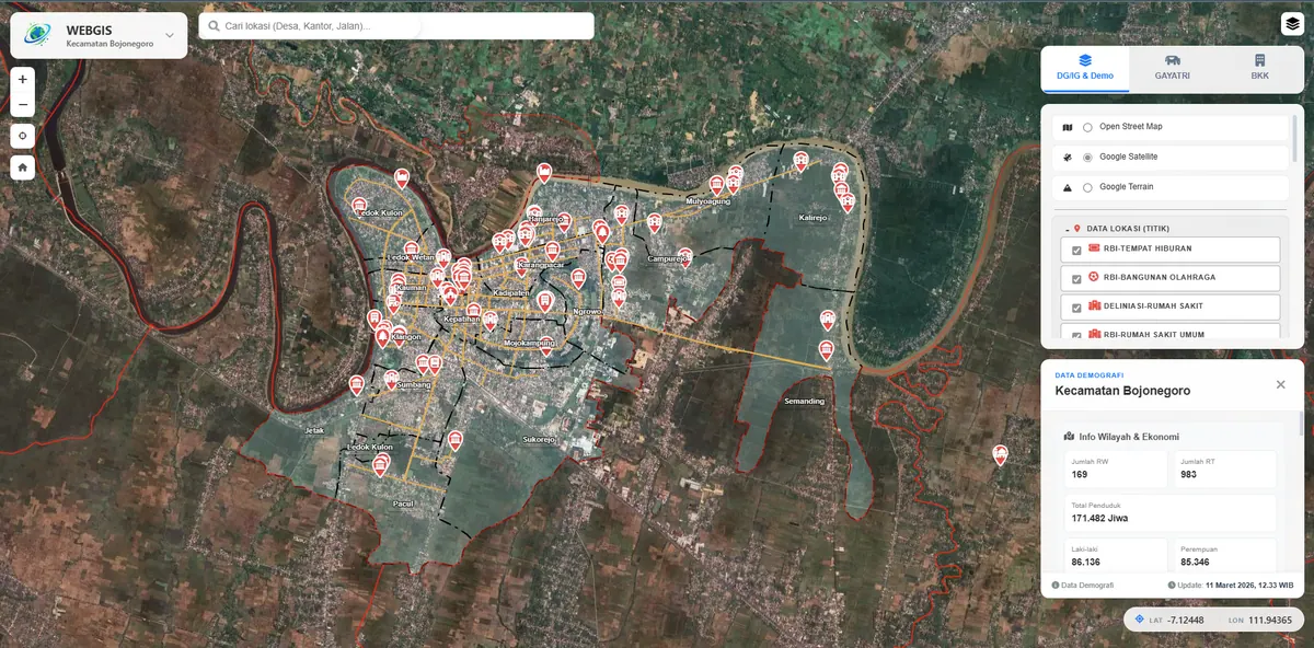
Every organization has different spatial data and workflows. Instead of selling ready-made templates, we design WebGIS around your specific needs — from interactive map visualization and attribute search to field digitization and analytics dashboards.
A WebGIS (Web Geographic Information System) runs in the browser, with no need to install desktop software like ArcGIS or QGIS on every machine. That has real consequences: field staff can update data from a phone, managers can see the current state without requesting a map export, and the public can access whatever is appropriate to publish — all from one shared data source.
What We Build
- Interactive 2D maps with basemaps and thematic layers (Leaflet.js / Mapbox GL).
- Spatial data management (create, edit, delete) directly from the map.
- Search, attribute filtering, and feature info popups.
- Integration of existing data: shapefile, GeoJSON, KML, and PostGIS.
- Multi-user systems with tiered access control when needed.
- Field documentation uploads (photos, PDFs) linked to map features.
- Summary dashboards: feature counts, areas, distribution by category.
- Export back to shapefile, GeoJSON, or Excel for reporting.
Who This Service Is For
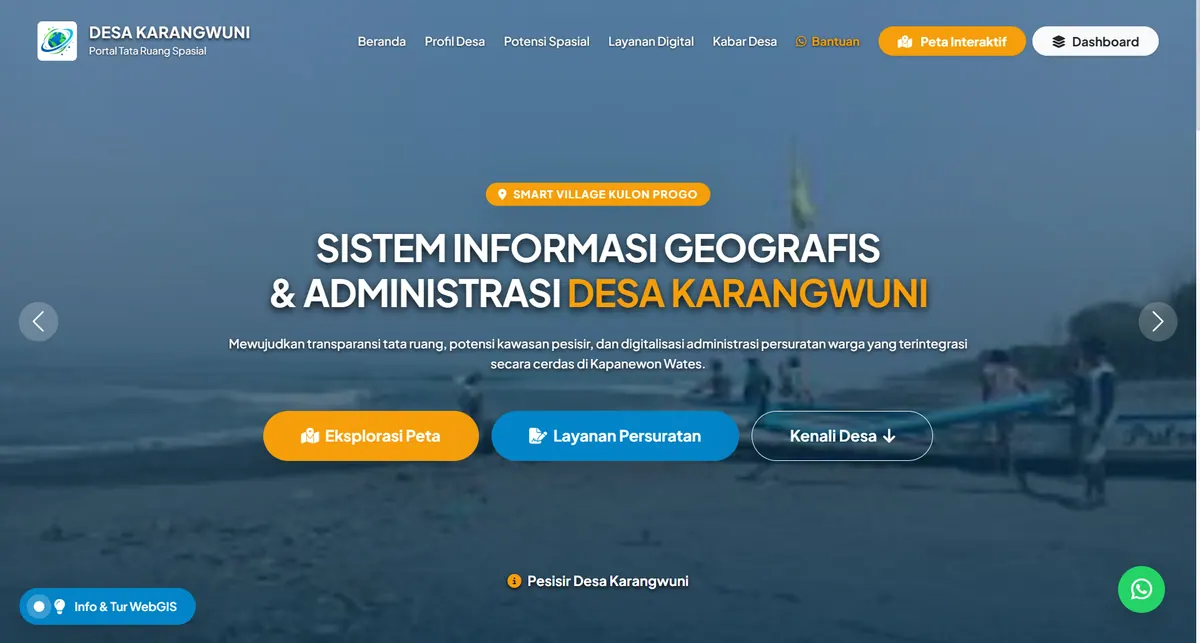
Village and sub-village governments. Inventories of assets, land parcels, public facilities, and local potential. Most village requirements are fully met by a lightweight non-GeoServer architecture, keeping running costs within a village budget.
Sub-districts and government departments. When several programmes must be monitored on one map and each has a different data owner, the WebGIS becomes the meeting point. Tiered access ensures each operator only edits what they are responsible for.
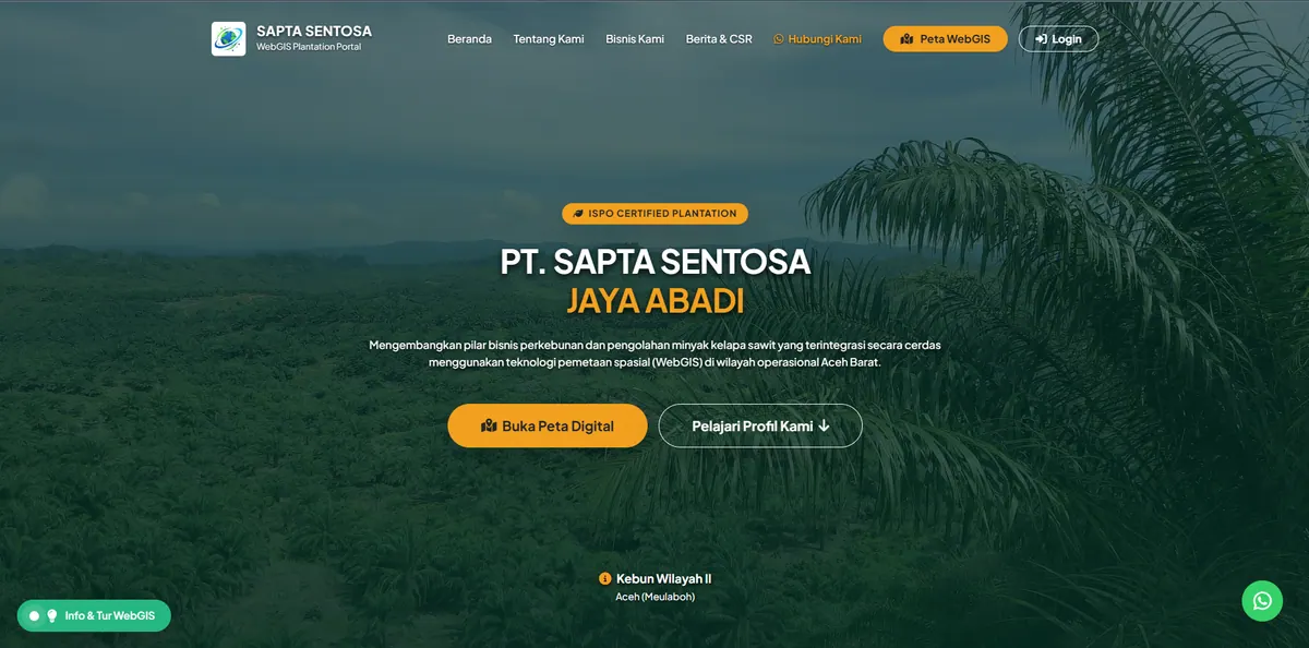
Companies. Plantations, mining, utilities, and logistics use WebGIS to monitor geographically dispersed assets. Here the deciding factor is usually workflow discipline: who enters data, when, and with what validation.
Academics and researchers. Publishing spatial research in a form readers can explore, rather than a static map image in an appendix.
Non-GeoServer or GeoServer?
This is the first architectural decision to make, and the one with the largest cost impact.
Non-GeoServer means spatial data is served directly by the application (Laravel + PostGIS, or even GeoJSON files) to the mapping library in the browser. Lighter, runs on ordinary shared hosting, cheaper to maintain. A good fit when your data is reasonably sized and consumed only by your own system.
GeoServer adds an OGC-standard service layer between the database and the map. It costs more — it needs a VPS, not shared hosting — but it enables something a lightweight architecture cannot imitate: other institutions can pull your data straight into their QGIS or ArcGIS via WMS and WFS, with no manual file transfers. If cross-institution interoperability is a requirement, see our OGC Geoportal service.
Our honest advice: do not pay for GeoServer if nobody will actually consume the services. Many village and sub-district projects are better off with a lightweight architecture, spending the remaining budget on data completeness instead.
How We Work
1. Requirements mapping. We review the data you already hold, its formats and coordinate systems, who will use the system, and which decisions the map is meant to support. This stage defines scope; it is not a formality.
2. Data preparation. Raw data almost always needs cleaning: overlapping geometry, mismatched coordinate systems, inconsistent attributes. Where the condition is severe we handle it as spatial data integration.
3. Interface prototype. You see a clickable early version before all features are built, so course corrections are still cheap.
4. Module development. Map, search, access control, field input, and dashboards are built incrementally so you can test as we go.
5. Testing and handover. Testing with your actual operators — not only with us — then handover of source code, database, and documentation.
Duration depends on the number of modules and the state of the initial data, so we quote it after stage one rather than promising it upfront.
Technology
We use a modern, proven stack: Laravel, PostgreSQL/PostGIS, GeoServer, Leaflet.js, and Mapbox GL. The architecture is intentionally lightweight to save server resources while staying responsive for users. All core components are open source, so there are no recurring licence fees tying you to us.
Why Geo Anfa Spasial
We are a legally registered company (PT) based in Sleman, Indonesia. Our portfolio spans systems for village governments, sub-districts, land administration, plantations, and road infrastructure — you can inspect them yourself on our portfolio page, including demos that are still running. You get a partner who understands both spatial data and software engineering, not just one of the two.
Frequently Asked Questions
How long does a WebGIS project take?
It depends on the number of modules and the state of your initial data. An interactive map with a few thematic layers is far quicker than a system with field input, tiered access control, and analytics dashboards. Data that still needs cleaning adds time too. We give an estimate after reviewing your data and requirements, not before.
Can the system be hosted on our own server?
Yes, and we recommend it. All source code and the database are handed over to you, and the core components we use are open source. You hold your own hosting or VPS account, so you are not tied to us for renewals. We can also help with the initial deployment on your server.
What data formats can we send you?
Shapefile, GeoJSON, KML/KMZ, GeoPackage, CSV with coordinates, raster imagery (GeoTIFF), and CAD drawings (DWG/DXF). Excel tables without coordinates can also be used if they contain a column that can be joined to spatial features, such as an area code or parcel number.
How is a WebGIS different from Google Maps with pins added?
Google Maps with pins only displays points on top of someone else's map. A WebGIS stores your spatial data in your own database, supports line and polygon geometry with their attributes, enables analysis such as overlay and area calculation, and controls who may edit what. The basemap can still come from a third-party service, but the data is yours.
Is training and maintenance available after delivery?
Basic handover with usage documentation is included. Structured training for a larger team is quoted separately and can run through our training portal, which also offers BNSP competency certification. For ongoing maintenance, we tailor the arrangement to your needs and budget.