Smart Village WebGIS
A Smart Village platform combining spatial data management (parcels, infrastructure) with digital administration for automated resident letters.

Context
Villages need a system that not only maps their territory but also speeds up administrative services for residents.
Two village needs usually handled separately actually draw on the same data. Area mapping requires parcel and resident records; issuing certificates also requires resident records and often references parcels. When the two are managed in separate files, one change must be recorded twice — and often only one of them gets updated.
What We Built
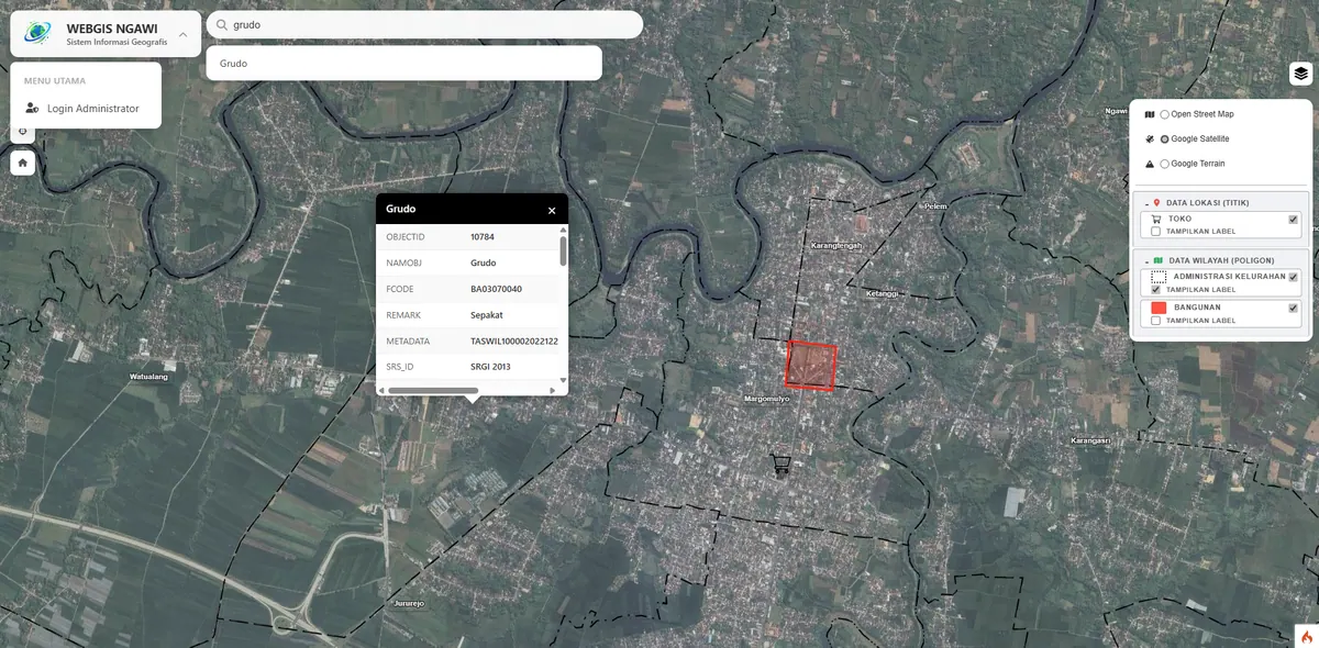
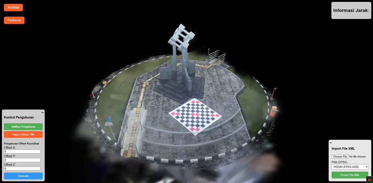
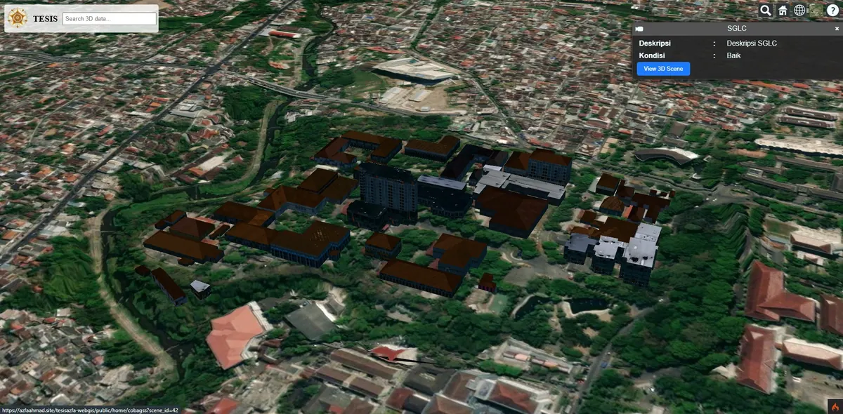
We built an integrated Smart Village platform: geospatial data management (land parcels, infrastructure) combined with a dynamic digital administration system for automated resident letter issuance.
Uniting both in one database lets letter issuance pull data directly from the same source as the map. Letter templates are dynamic: village staff can adjust letter types and content with no code changes, so the system stays usable as administrative requirements shift.
The architecture remains lightweight without GeoServer, because for a single village an OGC service layer does not yet deliver value proportional to its VPS cost.
Key Features
- Land parcel and village infrastructure map.
- Automated digital letter/document system.
- Integrated resident and asset database.
Results & Impact
Administrative services became faster and village data more organized.
The speed-up comes from eliminating re-entry: existing resident data no longer needs retyping when a letter is issued. The organisation comes from a single reference source — a change is recorded once and applies immediately to both the map and the administration.
For a village whose needs stop at mapping local potential and public facilities, a leaner scope like Trasan Village Inventory WebGIS is usually sufficient and more economical.