3D Gaussian Splatting WebGIS
Cutting-edge 3D Gaussian Splatting rendering to display detailed geospatial objects on the web.
Context
Displaying real objects photorealistically on the web is challenging. 3D Gaussian Splatting enables high-detail object reconstruction from photos with good render performance.
Conventional photogrammetry turns a set of photographs into a textured polygon mesh. That approach is reliable for well-defined shapes but struggles with exactly the things that make an object look real: soft edges such as foliage, reflective surfaces, and translucent materials. The result often looks like a model rather than the object itself.
3D Gaussian Splatting takes a different route. The object is represented not by polygons but by millions of small blobs (gaussians), each storing position, colour, opacity, and view direction. Because every blob can be partly transparent, the visual phenomena that defeat a mesh — leaf edges, glint on stone, glass — are captured naturally.
What We Built
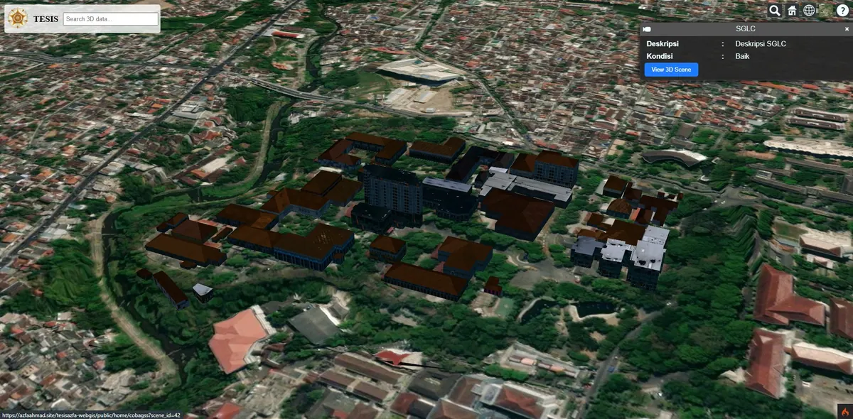
We applied 3D Gaussian Splatting to geospatial objects and served them through a WebGL-based WebGIS, so the models can be explored directly in a browser with no software to install.
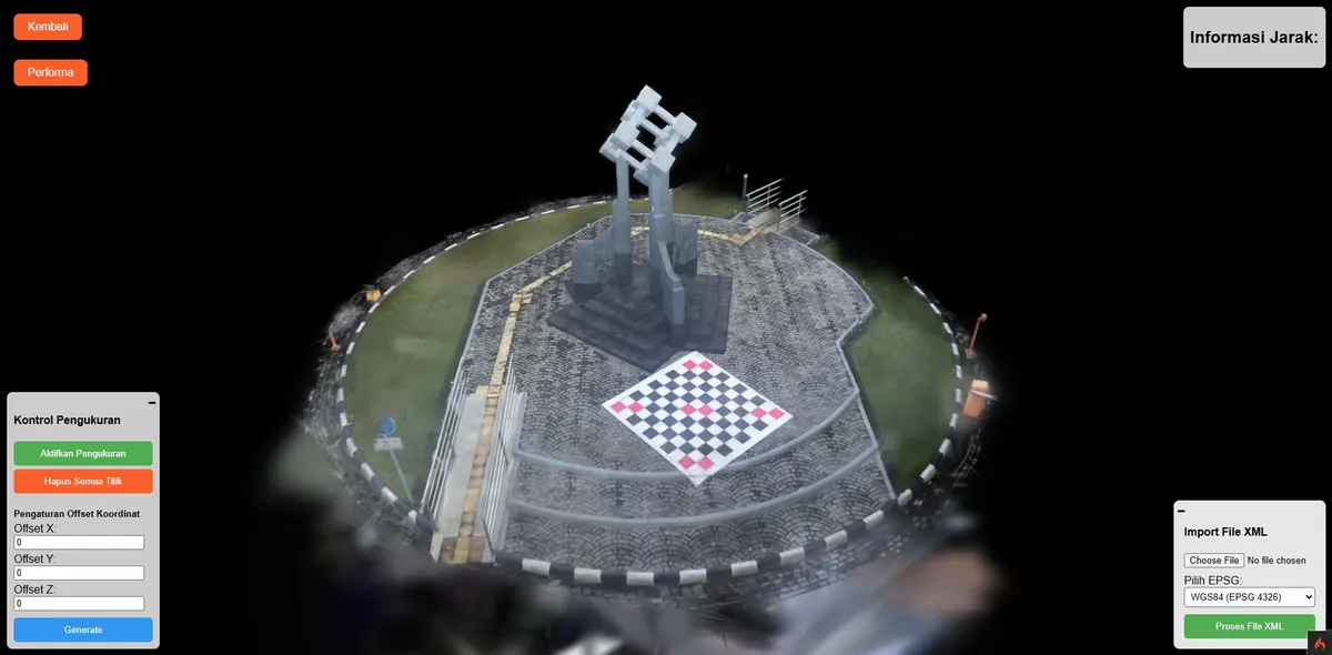
Subject: The Engineering Monument at UGM
The primary subject of this research is the Tugu Teknik monument at the Faculty of Engineering, Universitas Gadjah Mada, Yogyakarta. It was chosen not only for its symbolic value on campus but because its geometry is demanding: the surface carries varied relief and angles, it stands in the open where lighting shifts through the day, and it is surrounded by vegetation — precisely the combination that causes ordinary mesh-based reconstruction to lose detail.
Acquisition used overlapping photographs from many angles and heights, circling the object so the whole surface was captured. The image set was then processed to estimate camera poses and trained into a gaussian distribution representing the object.
Beyond the UGM Engineering Monument, we applied the same method to heritage objects in Semarang — Candi Tugu and Watu Tugu — explorable as separate scenes in the demo.
Scientific Publication
The method and results were published in the GEOID journal of Institut Teknologi Sepuluh Nopember (ITS). The full publication is available at the ITS GEOID journal. This matters to us not as a credential ornament but because the method has passed peer review — so clients can judge our approach from an inspectable document rather than a claim on a services page.
Key Features
- Photorealistic object reconstruction from imagery.
- WebGL-based rendering directly in the browser.
- Multiple explorable object scenes.
- Free orbit navigation to inspect the object from any side.
- No software or plugin installation.
Results & Impact
This approach opens up compact, interactive 3D documentation of objects and heritage sites. A detailed visual record allows an object's condition to be compared against a valid baseline should future change, damage, or restoration occur.
For presentation and promotion the result is far more convincing than still photography, because viewers can inspect the object from whichever side they choose.
The limitation deserves an open statement: Gaussian Splatting is very strong for appearance, but its output is not measurable geometry the way a mesh or classified point cloud is. If you need measurement or volumetric analysis, conventional photogrammetry or LiDAR remains the right choice. The two can also be combined: mesh for measurement, splatting for presentation.
Further Application
The method can be folded into a larger 3D city platform — see our Digital Twin City service and the Digital Twin City 3D case study. For 3D visualisation that runs entirely on your own infrastructure, see Modern Self-Hosted 3D WebGIS.