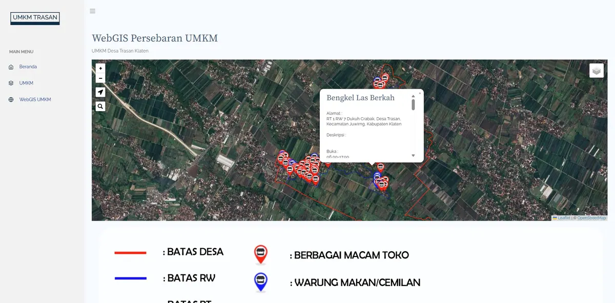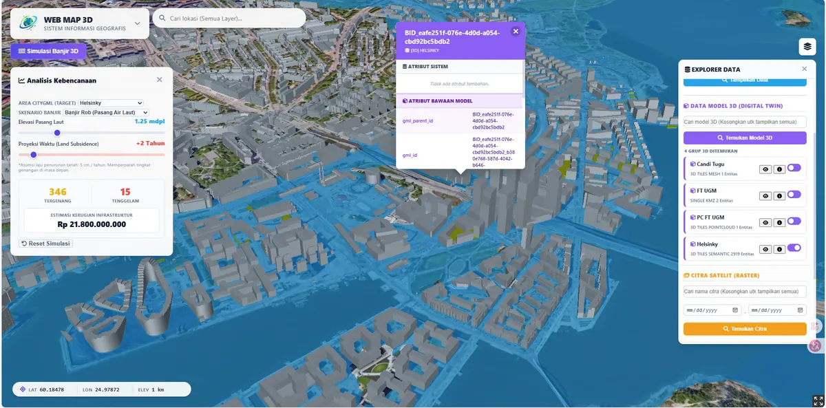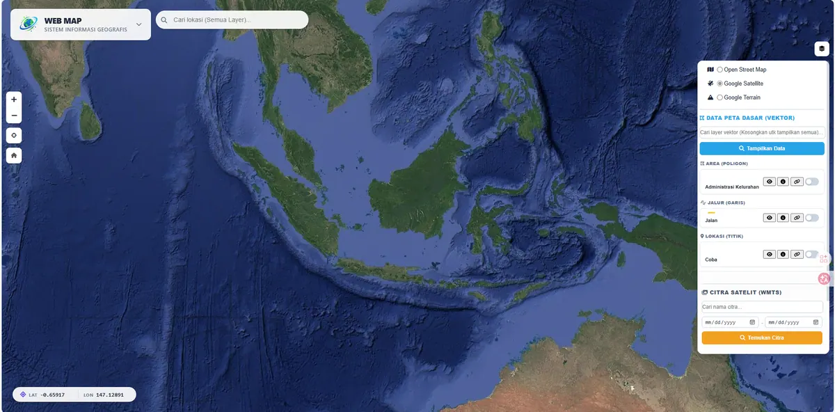
Cadastral Land WebGIS
A digital cadastral map for land parcel monitoring and ownership status.
Context
Land administration requires accurate parcel maps and ownership status to support decision-making.
What We Built
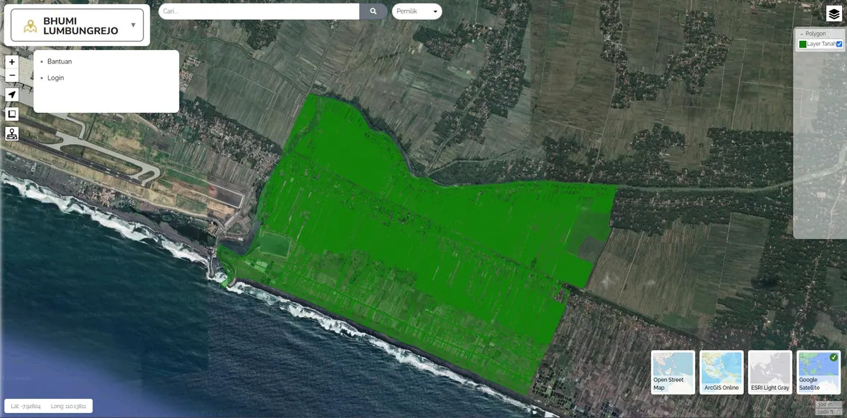
We built a digital cadastral map for monitoring land parcels and ownership status in a single interactive map view.
A cadastral map differs from an ordinary thematic map because parcel boundaries carry legal consequences. Geometric accuracy is therefore not an aesthetic matter: overlapping polygons mean two parties claim the same ground, and gaps between parcels mean some ground has no recorded owner. Topology validation is consequently a stage that cannot be skipped before the data is published.
Each parcel carries its own attributes — number, area, and ownership status — openable directly from the map. A question about a given plot is answered by clicking its parcel rather than matching a number against a separate list.
Data is stored in PostGIS so area calculations and spatial queries are performed by the database rather than recomputed by hand — which keeps the displayed figures consistent with the geometry.
Key Features
- Interactive land parcel map.
- Ownership status information per parcel.
- Centralized land data monitoring.
Results & Impact
Parcel information became easy to access and monitor.
The clearest gain is the disappearance of the matching step. Previously, checking one plot meant opening a map to see where it sat, then searching for its number in a separate list. Now both live on the same feature.
For monitoring, the map view shows the distribution of ownership status at a glance — which parts are certified and which are not — something hard to grasp from a table.
One point deserves an open statement: this system presents and monitors data, but the legal validity of parcel boundaries still rests on official documents and field survey. If your source data still contains inconsistencies, we handle the repair as spatial data integration — including topology validation and attribute reconciliation.