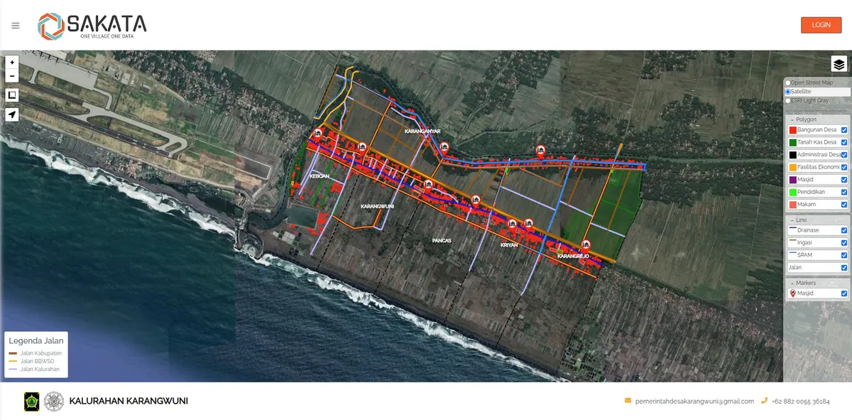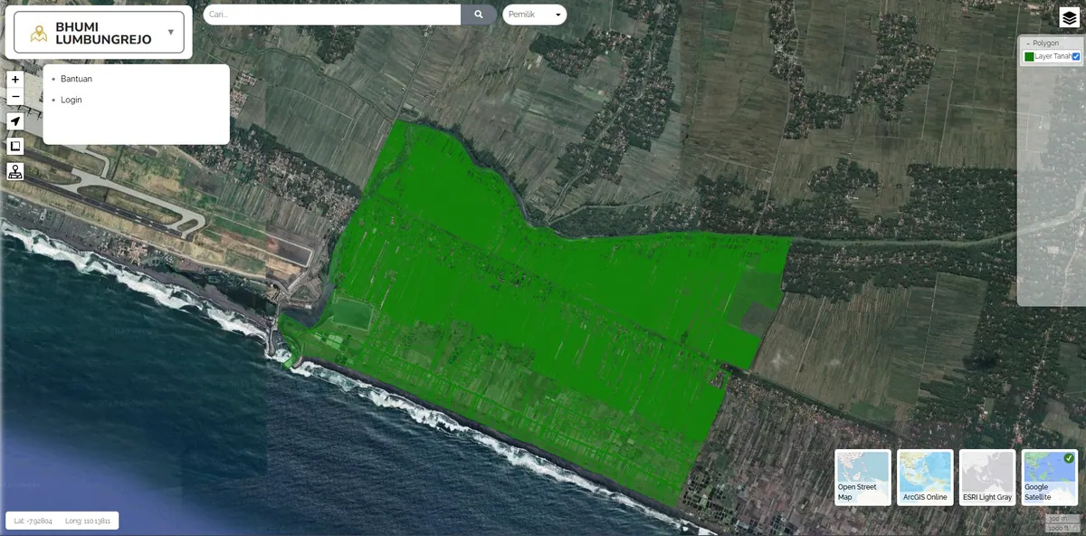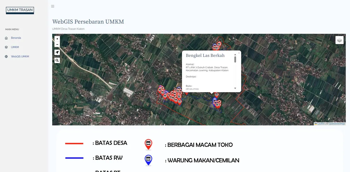
Sidoarjo Mudflow Asset WebGIS
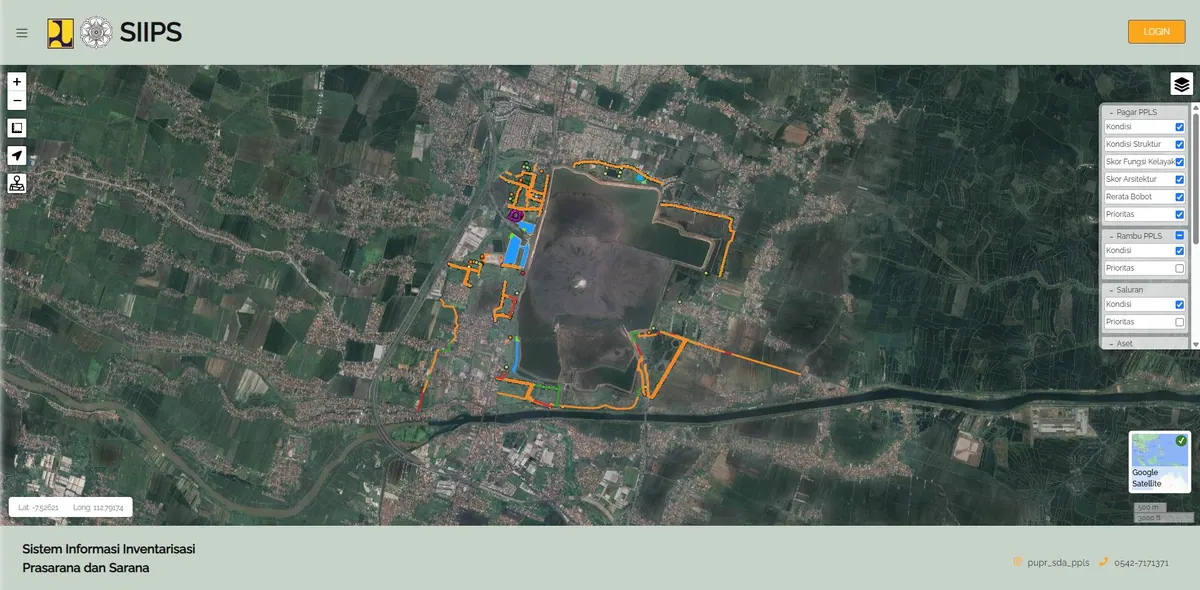
A map-based asset inventory system for areas affected by the Sidoarjo Mudflow.
Context
The Sidoarjo Mudflow (Lusi) affected area needs organized asset records for monitoring and governance.
What We Built
We built a map-based asset inventory system to record and monitor assets in the affected area spatially.
In a disaster-affected area, location is part of the asset information itself — distance from the affected zone determines status and treatment. Map-based recording is therefore not merely a nicer presentation but a way of storing data that fits the problem better.
Each asset carries its own attributes and status, so a change in condition is recorded on the feature rather than in a separate document that is easily left behind.
Key Features
- Asset inventory on an interactive map.
- Asset attribute and status recording.
- Centralized spatial database.
Results & Impact
Asset records became tidier and easier to trace.
Traceability is the core need here. A question about an asset's condition is answered by opening the feature on the map along with its history and attributes, not by hunting for an attachment in an old report.
Because the data sits in one spatial database, summaries by area or status can be produced directly with no manual recounting. If your source data is still scattered across formats, we handle that preparation as spatial data integration.