GIS Support & Outsourcing for Your Geospatial Projects
For consultants, contractors, agencies, and companies running a project: we become the geospatial team behind you — handling data processing, analysis, maps, WebGIS, geoportals, and digital twins on your project timeline.
An Extra GIS Team, Without Hiring
Many projects need substantial geospatial work, but not continuously: a study needs dozens of maps in two weeks, a tender requires a WebGIS, or the in-house team is full ahead of a deadline. Hiring permanent staff for needs like these rarely pays off. We step in as an additional geospatial team that can start immediately — you keep the client and the project, we deliver the geospatial part.
Who We Usually Support
Planning & environmental consultants who need maps, analysis, and spatial appendices for study documents. Contractors & developers who need survey data processing, volume calculations, or map-based progress dashboards. Agencies & village governments building spatial databases or information systems. Technology companies & integrators who win map-heavy projects and need experienced WebGIS developers.
What You Can Hand Over
- Spatial data processing: digitising, format conversion, topology cleaning, geodatabases.
- Spatial analysis and thematic maps/report appendices.
- Satellite imagery processing and field surveys with our partners.
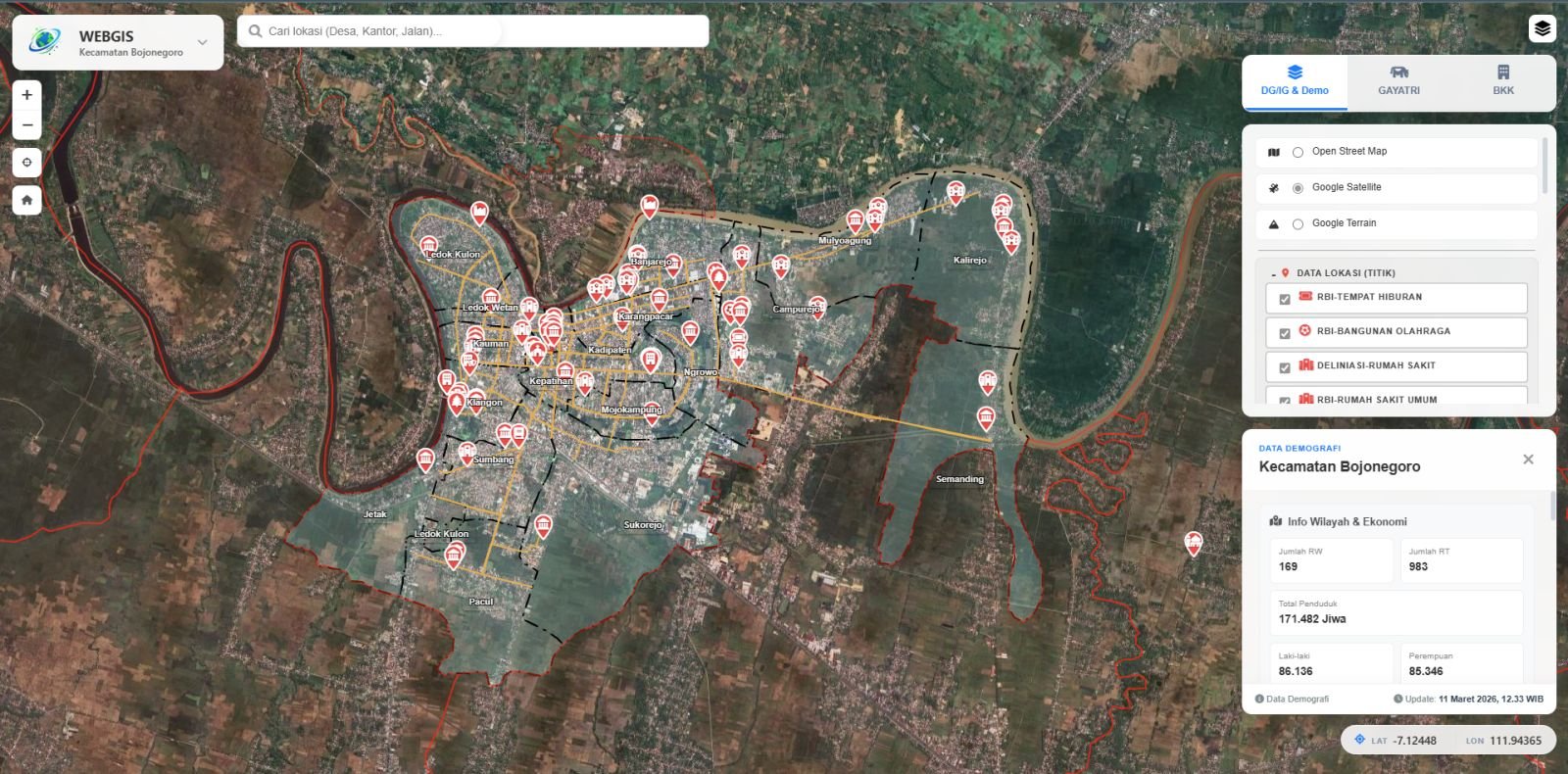
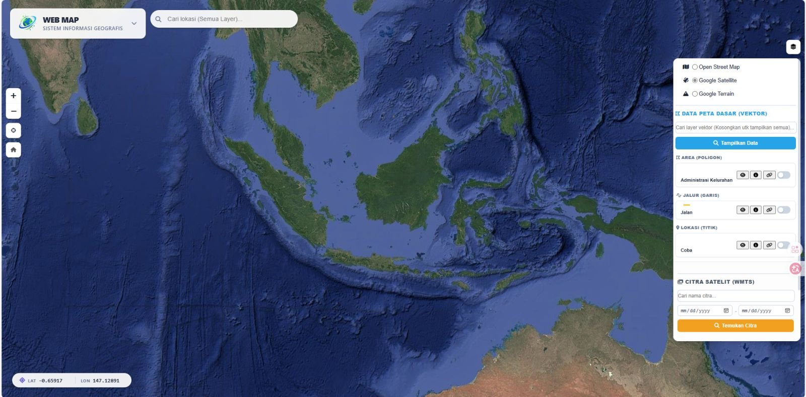
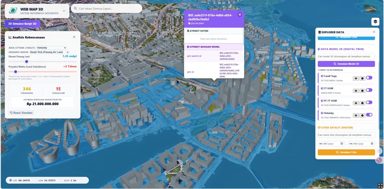
- Building WebGIS, OGC geoportals, and 3D Digital Twins as a technical subcontractor.
- Fixing or extending an existing GIS system.
Engagement Models
Per work package. Scope and deliverables agreed up front at a fixed price — suited to clearly bounded work.
Time-based (daily/monthly). GIS staff allocated to your project for a set period — suited to evolving scope or routine support.
White-label. Deliverables handed to your client under your name. Confidentiality is protected with a non-disclosure agreement (NDA) when needed.
How We Work with Your Team
We adapt to your project standards: map templates, coordinate systems, delivery formats, and reporting schedules. Progress is reported regularly, revisions follow your client's feedback, and all data and source code we produce belong to the project — so your team can carry on without depending on us.
Frequently Asked Questions
Can you work under our company name (white-label)?
Yes. Deliverables are handed to you and you may pass them to your client under your company name. If needed, we sign a non-disclosure agreement (NDA) before any project data is shared.
How is the work priced?
Two options: a fixed price per work package when the scope is clear, or a time-based rate (daily/monthly) when the scope is still evolving. Our quotations are itemised per component so they slot easily into your project budget.
How quickly can the team start?
For data processing and mapping, usually within a few days of agreeing the scope. Work involving field surveys depends on partner schedules and location. Share your deadline up front so we can confirm we can meet it before accepting the job.
Who owns the data and source code?
Your project does. All processed data, map files, and system source code we develop are handed over in full, so your team or your client can continue without depending on us.
Can you help prepare the technical part of a tender?
Yes, limited to the geospatial part: proposed system architecture, processing and analysis methodology, sample maps or a WebGIS prototype, and time and cost estimates for those components.