FEATURED
UNGGULAN
Video Demo
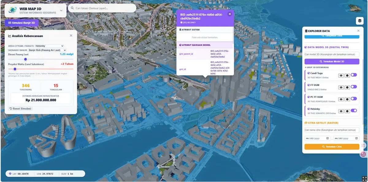
Digital Twin City
Digital Twin City
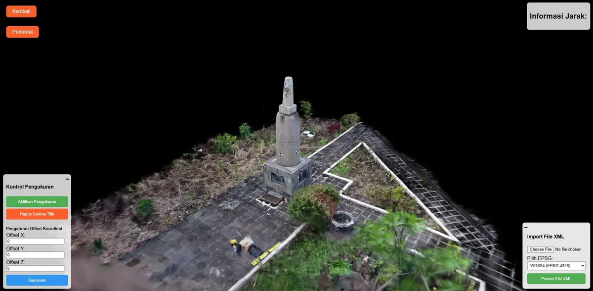
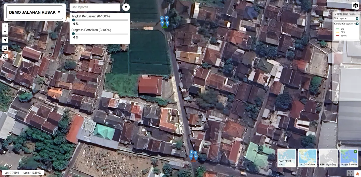
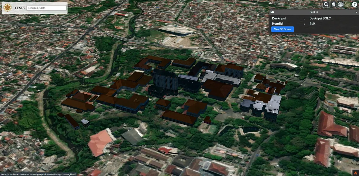
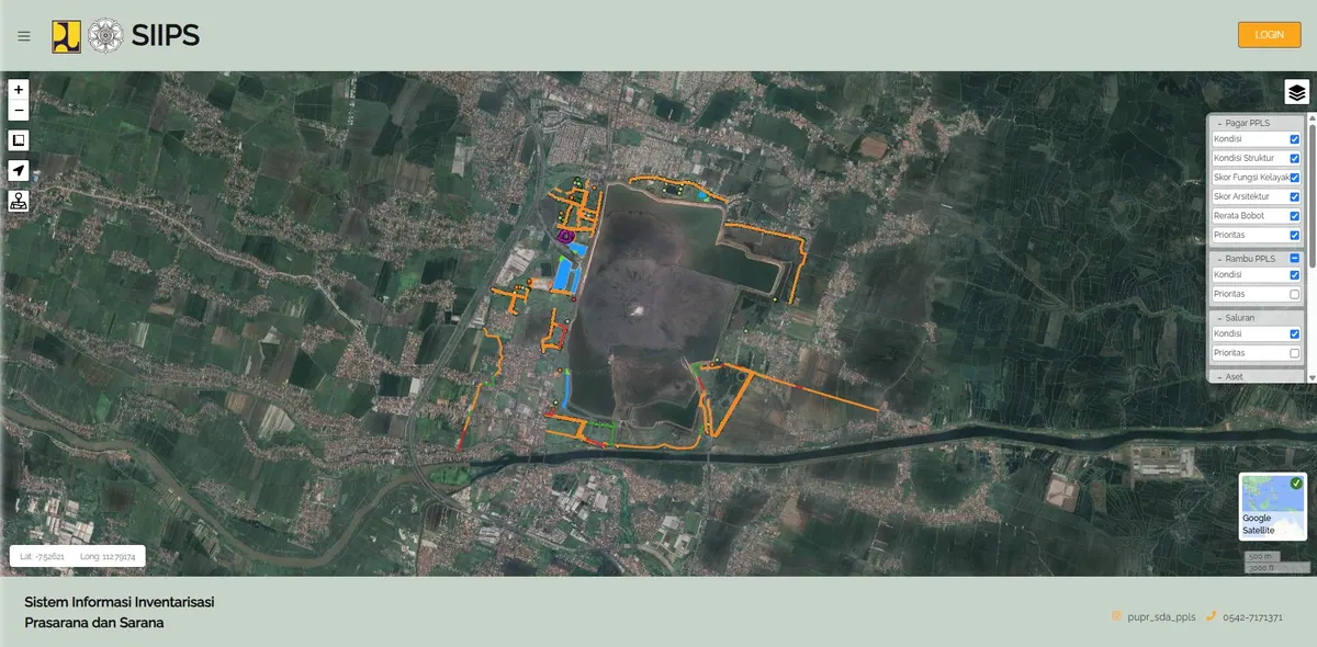
Advanced Digital Twin combining CityGML/CityJSON with 3D Tiles (photogrammetry, point clouds) and individual 3D models (GLB/KMZ). Demo features Kalasatama, Helsinki. Ready to be your Digital Twin partner. Click image to play video, or click title to open the system. Prototipe Digital Twin memadukan CityGML/CityJSON dengan 3D Tiles (fotogrametri, point cloud) serta model 3D satuan (GLB/KMZ). Demo menggunakan data Kalasatama, Helsinki. Siap menjadi mitra Digital Twin Anda. Klik gambar untuk memutar video, atau klik judul untuk membuka sistem.